Building date: Unknown, gutted by fire and razed about 1876
Original use: Schoolhouse
Corner structures:
Mortar application and content:
Types and uses of stones:
Types and choice of windows:
Structures with similar masonry details:
Masons who worked on building:
Unique features:
Map views courtesy Google Maps. Address is Google Earth confirmed; 43°13'29.61"N 77°10'46.90"W.
Town of Williamson and Wayne County 1978 Highway Maps
Williamson Distrit No. 2 Schoolhouse history sheet. From the personal research of cobblestone historian Karen Crandall.
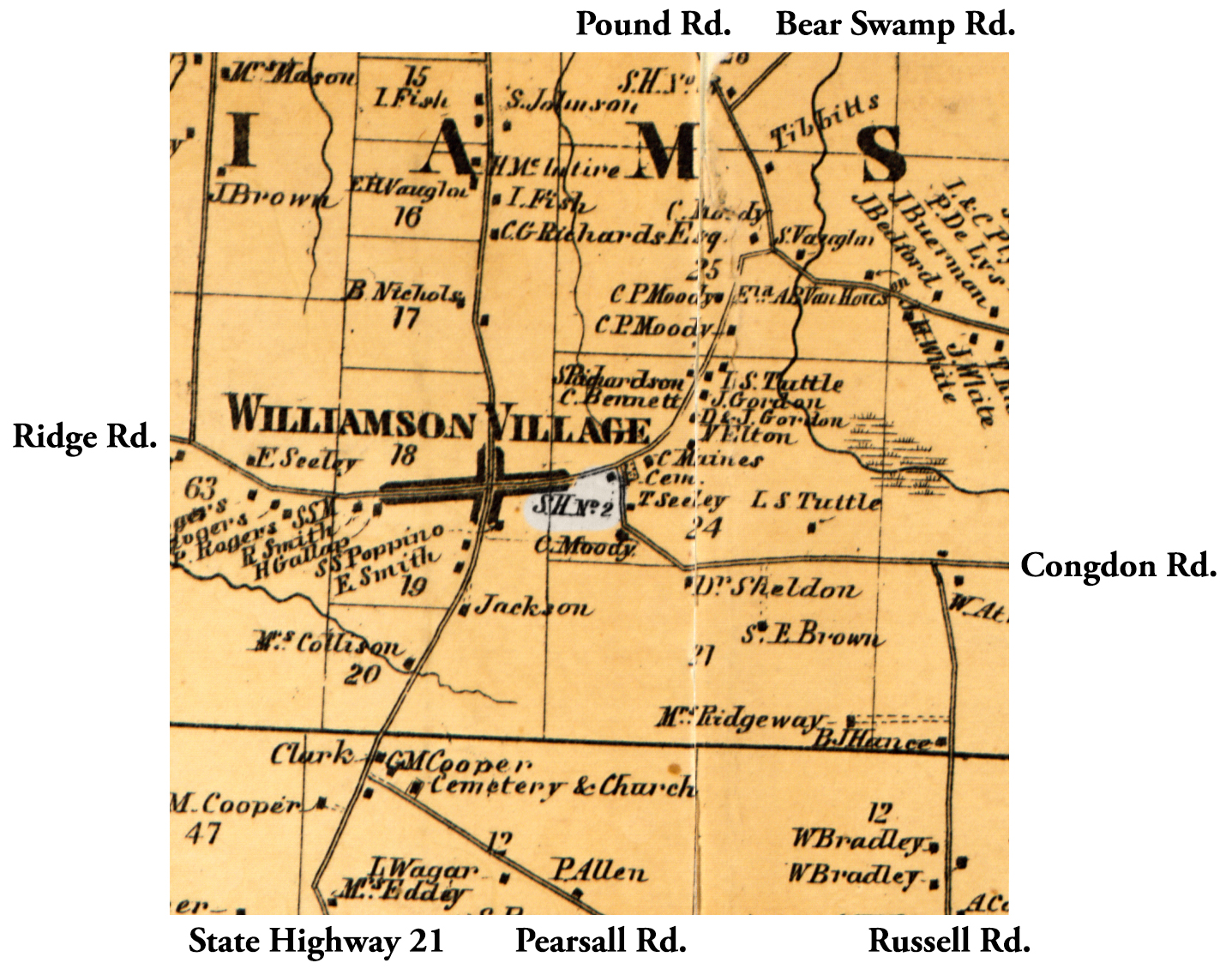 1858 Wayne County Wil-30 Excerpt Map.jpg ¹ | 
|
¹ 1858 Wayne County Map Wil-30 Excerpt courtesy Library of Congress.
